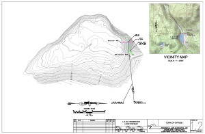
GIS
GIS (Geographic Information Systems) is a software platform for using, developing, analyzing, sharing, and presenting spatial data. The analytical and geoprocessing capabilities of GIS allow for the use and analysis of spatial information from a variety of sources and disciplines. Applications are most commonly used for mapping and overlay of a variety of data. Zancanella and Associates specializes in the following GIS applications:
- Water and Sewer Infrastructure Mapping and Inventory
- Land Use Mapping
- Water Rights Mapping and Analysis
- Hydraulic and Hydrologic Modeling
- Basin/Watershed Analysis
- Floodplain and Inundation Mapping
- Regulatory Permitting
AutoCad
AutoCAD Civil 3D is a comprehensive design software package that allows the user to model the built environment and accurately predict characteristics of the project before it is put in the ground. By combining the information modeling with geospacial and stormwater analysis, users are able to determine quantity takeoffs, predict cost analysis, and provide guidance during construction among other capabilities.
Some AutoCAD services Zancanella and Associates specializes in include:
- Water system analysis
- Wastewater system analysis
- Hydraulic Structure Analysis
- Visual Aid Generation


